Category: U-Space Service Provider

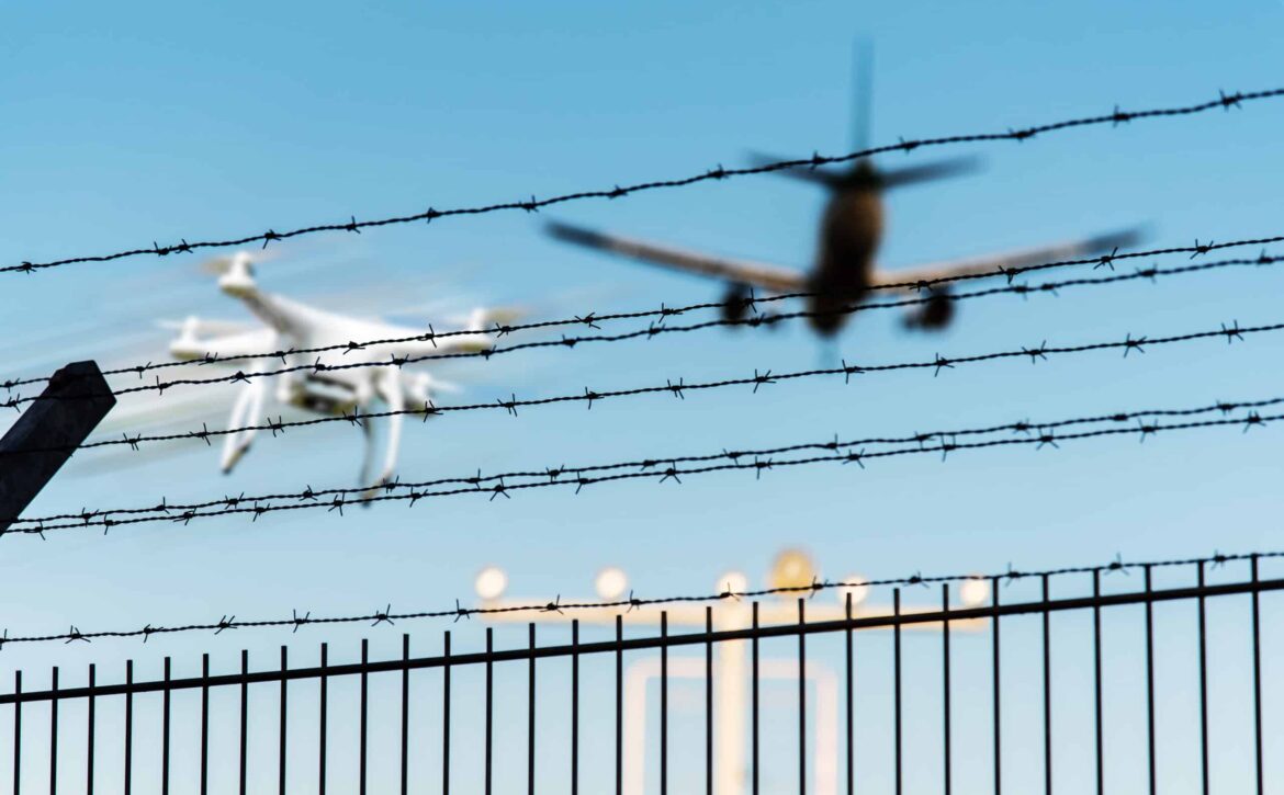
quadcopter drone in flight close to airplane approaching airport runway

NOTAM - Notice to Airmen

In order to be optimally prepared for a UAS and UAV flight, pilots must be aware of new obstacles and other information in addition to the SERA. This works through information from German Air Traffic Control (DFS), the NOTAM.

NOTAM - Notice to Airmen

What is NOTAM?

The acronym stands for notice to airmen. This is information and instructions about changes to the Aeronautical Information Publication (AIP). These changes can be temporary or permanent. They are crucial for orderly, safe and smooth air traffic.

Short-term and urgent instructions, procedures and information from the NOTAM serve as supplementary information for a flight. The fact that changes to the AIP are distributed by post means that they are not necessarily required for new changes.

What does a NOTAM say?

The instructions and information disseminated in a NOTAM are messages about installations, changes and conditions of any aviation facilities, services, procedures or hazards.

A NOTAM therefore warns pilots of obstacles that have been newly installed or are not recognizable due to defective lights, for example. It also contains warnings about drone activity and provides information about temporary flight restriction areas. For example, a disaster control operation site in the event of flooding. This special information is summarized for airlines in a briefing package.

Categories Briefing Package

The briefing package is divided into categories. These are Departure (departure airfield), Enroute (route), Alternate (alternate airfield), Destination (destination airfield) and Company-NOTAM (information that only applies to the airline).

New briefings on the latest amendments and new publications can be found on the DFS website. NOTAMs are also disseminated via the Aeronautical Telecommunications Fixed Network (AFTN).

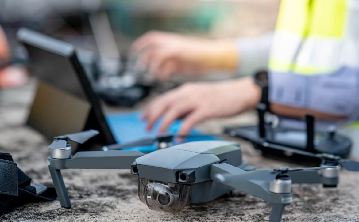
Male worker using drone and laptop for stie survey

Remote pilot license and drone license

To be allowed to fly a drone, you must have a corresponding remote pilot license or a drone driver's license. These two types have been available since the EU regulation of 2019 for controlling UAS in the "Open" class.

Remote pilot license and drone license

Drone driver's license - EU proof of competence

The German Federal Aviation Authority (LBA) requires an EU certificate of competence for the safe operation of a drone. This comprises online training courses and online examinations that must be completed. The online examination consists of 9 subject areas with a total of 40 multiple-choice questions. If no more than 30 questions are answered correctly, the exam must be repeated. It is possible to take these exams several times.

The corresponding document is issued after successful completion of the test. The EU certificate of competence is valid for subcategories A1 and A3 of the "Open" category.

Remote pilot license - EU remote pilot certificate

First of all, an EU certificate of competence is required to apply for this license. This is followed by practical self-training under the conditions of the A3 subcategory. The theory test now takes place at a test center designated by the LBA. This consists of 30 multiple-choice questions from 3 subject areas. Some test centers rely on a combination of practical training and the theory test, which is then taken.

The application for the EU Remote Pilot Certificate must be submitted to the LBA after successful completion. This license is valid for the A2 subcategory of the "Open" class.

Fees for the remote pilot license and drone license

Issuing the EU certificate of competence for A1 and A3 costs €25.00. After payment, the necessary test can be taken as often as required, as the fee is only charged once.

The issue of the A2 remote pilot certificate costs €30.00. After successfully completing an additional theory test, it is possible to apply for a license at an LBA test centre, which charge different fees for the test.

Both licenses are valid for 5 years. In addition, an extension is possible by means of a re-test or refresher course. One testing center, for example, is seabirds.de GmbH near the Oldenburg-Hatten EDWH airfield.

Information about the test centers or further information can be found on the LBA website.

In addition, our employees Strauß and M. Rossol will be happy to answer any questions you may have about drones. You can also follow us on Instagram @b.r.m.Bremen.

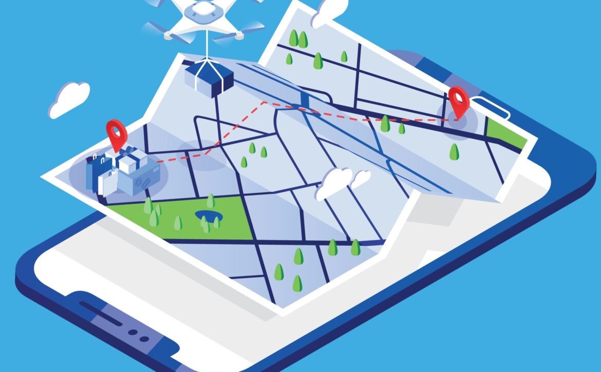
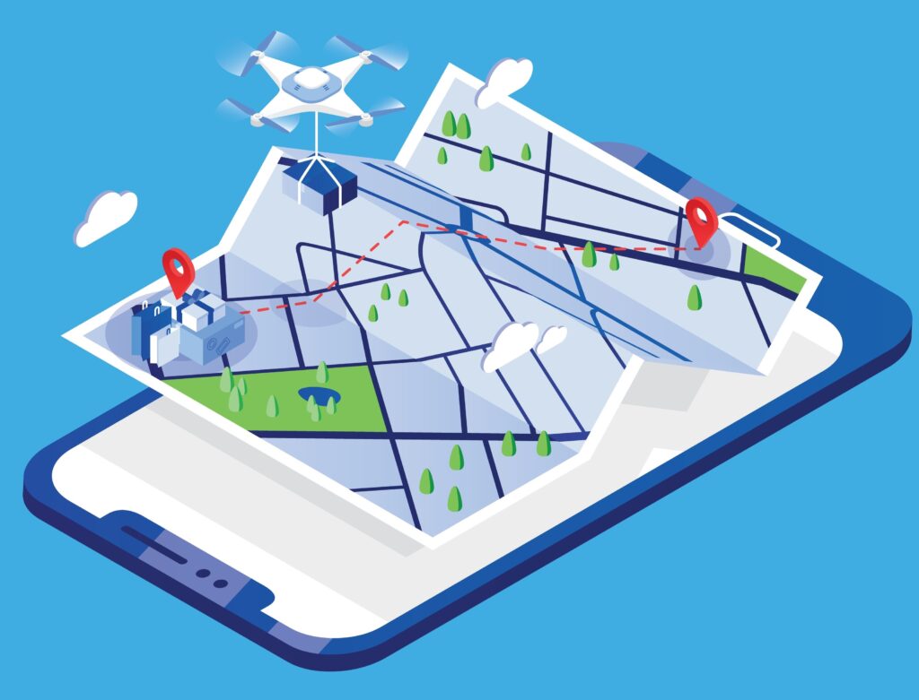
Drone carrying parcel and flying above paper city map and giant mobile phone. Delivery or shipping service with automatic quadrotor, modern electronic device. Colored isometric vector illustration.

Transponder obligation and identification obligation in airspace

According to German Air Traffic Control (DFS ), certain rules apply to the transponder obligation and recognition obligation in airspace. Both obligations are intended to make airspace safer by preventing collisions.

Transponder obligation and identification obligation

An aviation transponder is an electronic device that communicates via radio frequency interrogation. It provides important information for air traffic control (ATC) and the collision avoidance systems (ACAS) of other aircraft.

A secondary surveillance radar and an ACAS system interrogate the information from the transponder and thus make the airspace clearer. The transponder transmission therefore ensures the detection of other flying objects.

To which airspaces does the transponder and identification obligation apply?

All aircraft, whether gliders, free balloons or even hang gliders, must be equipped with a transponder in the following airspaces.

Class C and D airspaces, with the exception of the control zones, are affected. It therefore applies from 2,500 ft to 10,000 ft, which corresponds approximately to 762m to 3,048m.

Furthermore, this obligation applies in the Transponder Mandatory Zone (TMZ), which prescribes the use of a transponder with automatic altitude transmission.

The transponder requirement also applies to uncontrolled airspace at night. It also applies to motor-powered aircraft, excluding gliders, above 5,000 ft above sea level (normal zero), i.e. at the 1524 m limit.

Marking at night

To ensure that air obstacles are clearly visible to pilots at night, they must be made visible accordingly. Wind turbines or other tall buildings such as towers or chimneys must be visible in accordance with the regulations. To this end, the Federal Republic of Germany has followed international recommendations and implemented a General Administrative Regulation on the Marking of Aviation Obstacles (AVV). This specifies exactly how objects that protrude into the airspace must be secured.

The on-demand night-time marking (BNK) of wind turbines is currently only possible if the technical equipment of the aircraft is independent. A BNK transponder solution is fundamentally ruled out according to the current status of the AVV.

The experts Strauß and M. Rossol from the IT service provider b.r.m. will be happy to answer any questions you may have.

Drone

VLOS, EVLOS and BVLOS

The VLOS, EVLOS and BVLOS are essential for flight. In addition to the usual regulations, such as certification and training, the operating modes must also be observed for drone operations.

VLOS (Visual Line of Sight)

In VLOS (visual line of sight) mode, the remote pilot must have uninterrupted and direct visual contact with his drone. He must be able to recognize the flight position without optical aids.

The exact visibility range depends on various factors. The type of drone, the weather and the lighting conditions are very important. As a rule, the larger the drone, the greater the distance. Smaller drones can be seen at 60-90m, while larger UAS can sometimes be operated at a distance of up to 130m.

EVLOS (Extended Visual Line of Sight)

Drone operation in extended visual contact is called EVLOS. The drone pilot is supported by one or more trained airspace observers, usually by radio. This ensures uninterrupted situational awareness of the airspace. This can also be done by technological means.

BVLOS (Beyond Visual Line of Sight)

The flight beyond visual line of sight is abbreviated to BVLOS. The remote pilot does not need direct visual contact with the drone, so it is the opposite of VLOS. A special permit from the responsible authority is required for this type of operation. Otherwise, flights outside of direct line of sight may not be covered by liability insurance.

The instruments of a Ground Control Station (GCS) or a Remote Pilot Station (RPS) are often used for this purpose. With the latter method, control of the flying object is ensured by communication between satellites, tower and other flying objects in the vicinity.

If you have any questions about drones, our employees Strauß and Rossol at b.r.m. will be happy to help you.

Set Isometric Life insurance with shield, House and Plane icon. Vector

iConspicuity

The EASA (European Aviation Safety Agency) organized an online workshop on 23 February 2022 to present iConspicuity. The iConspicuity roadmap, i.e. the further integrative approach with manned and unmanned air traffic, was also defined there.

iConspicuity

What exactly is iConspicuity?

iConspicuity stands for increased conspicuity, which, translated into German, means increased conspicuousness. It refers to the state of being clearly recognizable and informed.

The iConspicuity includes the most important information for the pilot of the various drones. In addition to general flight information and information on the weather, this explicitly describes the position of other flying objects in the vicinity. This information provides the remote pilot with particularly good support before and during the flight.

Why is iConspicuity being introduced?

In the past 10 years, there have been many collisions and accidents in uncontrolled air traffic. These were mainly small flying objects, resulting in a tragic 137 fatalities (in the 2009-2019 recording period). In addition, a further 60 collisions were fatal.

In order to reduce these figures, pilots should be better informed in future. The iConspicuity is designed to help with this by enabling other flight participants to be recognized more clearly. The pilot is thus optimally prepared for the flight and possible dangerous situations in the vicinity. This enables much safer air traffic.

Who is affected by the new procedure?

EASA envisages general air traffic (GA community), helicopter traffic (rotorcraft community) and other users participating in previously uncontrolled traffic for the measures under the idea of "iConspicuity". Furthermore, from January 2023, all unmanned aircraft operating in U-Space are to be made electronically visible and supported by a U-Space Service Provider (USSP).

The Bremen-based IT service provider b.r.m. is preparing to become a USSP. The company is using its GDPR-compliant green IT data center for this purpose. In addition, employees Markus Rossol and Maximilian Strauß have specialized in the area of current and future drone traffic. They will be happy to answer any questions you may have.

AVIASPACE BREMEN e.V. - b.r.m. is part of the aerospace cluster

With its associations and companies such as AVIASPACE BREMEN e.V., the state of Bremen is a world leader in aerospace. This is ensured by leading industrial companies and their suppliers, among others.

Aviaspace Bremen Aerospace Cluster Association

AVIASPACE BREMEN e.V. - an aviation cluster

AVIASPACE BREMEN e.V. is a network and representative for manufacturers of aerospace components. It has been commissioned by the Senator for Economics, Labor and Europe to implement aerospace strategies in the federal state of Bremen. The association's challenge is to strengthen and further develop the aerospace industry together with other important sectors such as the automotive industry and wind energy.

Main topics AVIASPACE BREMEN e.V.

However, the Bremen cluster has also addressed essential topics such as the formation of networks, technology transfer and economic growth. In addition, the association promotes young entrepreneurs and start-ups by clarifying the organizational and technical networking of end producers, suppliers or services. Furthermore, it provides access and contacts to scientific institutions at the various stages of the product cycle. This also applies to the competence areas of material development, high lift, construction, manufacturing technology, earth observation and robotics.

What does b.r.m. have to do with it?

Thanks to the new "Hatten-UAS" airfield for unmanned aerial systems at Oldenburg-Hatten EDWH airfield, b.r.m. has already prepared itself for future air traffic. In the course of this, the employees Markus Rossol and Maximilian Strauß have specialized in this as UAS Consultant and Senior Aerotechnical Consultant.

Bremen-based IT service provider b.r.m. is a new member of the association and is joining the cluster strategy. Networking is an important element in the development of new tasks and innovations.

Starting point at pilot started on a drone flight in field

Air traffic - civil drone types

It's easy to lose track of the different types of drones. Here are the three main categories.

Drones deliver parcels

AERO UAV DACH e.V. - Air traffic of tomorrow

For drone enthusiasts, the annual AERO in Friedrichshafen is the place to go.

Drones and the U-Space service provider b.r.m. | Early spring hums in the air

Drones U-Space Service Provider b.r.m.

March 20th marks the beginning of spring in the meteorological sense. Birds, bees and other insects will soon begin to roam our skies, but not only them. Drones or UAVs (unmanned aerial vehicles) have already become part of the airspace, not only as a hobby for RC enthusiasts, but also for the U-Space Service Provider b.r.m. .

The EASA has been working for some time on the cornerstones for coordinating civil drone aviation throughout the EU. To this end, the establishment of a new airspace, the so-called U-Space, is being prepared. Alongside other airspaces (such as the Gulf), U-Space is intended to enable manned and unmanned aviation to coexist.

U-Space - space for drones

A separate airspace just for drones is a difficult undertaking. After all, all aircraft have to land and take off, and any risk of collision must of course be avoided at an early stage, especially over conurbations. For this reason, the current concept of U-Space is designed to cause as little inconvenience as possible to other manned aircraft. The drones should register with a corresponding U-Space Service Provider (USSP) in the established U-Space and thus receive information on traffic information and other services that are necessary for safe operation. EASA is currently in the discovery phase in order to include transponder-free flight participants. Under the term iConspicuity, existing technologies such as ADS or Mobile are to be used to make every flight participant a conspicuity. This information can then be used to avoid a dangerous approach in advance.

What is a U-Space Service Provider?

The USSP (U-Space Service Provider) will be used at the interface between unmanned and manned space flight. It will provide various services to enable drone operators to navigate safely through U-Space. The core tasks will be the processing of "flight authorization" and "strategic de-confliction". Strategic de-confliction ensures that the submitted flight plan is checked for conflicts in the airspace.

There will of course be a service for registering the drones so that both the USSP and the authorities can access the status of the UAV. In addition to the relevant traffic information, consideration is also being given to which other services are useful for drone operators.

Outlook 2022 - What we can expect

Before the end of the first half of this year, the EASA intends to issue regulations on how the "iConspicuity" visualization of manned aircraft can be implemented in a meaningful way without introducing additional equipment or even a transponder requirement. We would then be a good deal closer to the permanent establishment of U-Space and civil drone traffic would already be within reach.

In the meantime, the UAS/UAV test center is being further expanded at the Oldenburg-Hatten airfield. Take a look at our current VTOL EGM project and visit the website of our project partner Optoprecision.