Risk Assessment

SORA - Risk assessment for safe UAS operation

SORA, a process for safety measures, was developed to make the risk assessment of a drone operation safer.
SORA - Risk assessment for safe UAS operation

What is SORA?

The Specific Operations Risk Assessment, SORA for short, serves as a risk analysis for drone operations. Depending on the type and flight zone of the drone, the risk of the operation is determined in a process. After a complete review, SORA determines which minimum safety requirements the UAS operator must fulfill.

This risk assessment was developed by the international expert committee JARUS. Risk management also includes EASA criteria and serves to minimize risks to people on the ground, other air traffic and critical infrastructure.

The national aviation authority examines the UAS operator's application for an operating license using the risk assessment. The corresponding SORA process then provides for various steps to plan the operation in an orderly and safe manner. However, in order to increase general safety, different rules apply to the respective drone categories.

Basic concept of robustness

A basic concept in the SORA process is the robustness concept. This refers to the resistance of the flying object with its maximum limits. This includes the degree of integrity and the degree of reliability with which the UAS operator pursues mitigation. Robustness, i.e. the two factors, is categorized as "low", "medium" and "high". For example, if a UAS operator wants to fly in challenging weather conditions, such as wind speeds of around 9 knots, they must prove that they have familiarized themselves with the weather development.

SORA in Germany

Although there is no German version of this process to date, the first aviation authorities, such as Lower Saxony and Bremen, have announced the use of similar risk assessments. The Bremen Senator for Economics, Labor and Ports has provided a six-page application for the operating permit and approval.

If you have any questions about SORA, please contact our Senior Aerotechnical Consultant Maximilian Strauß
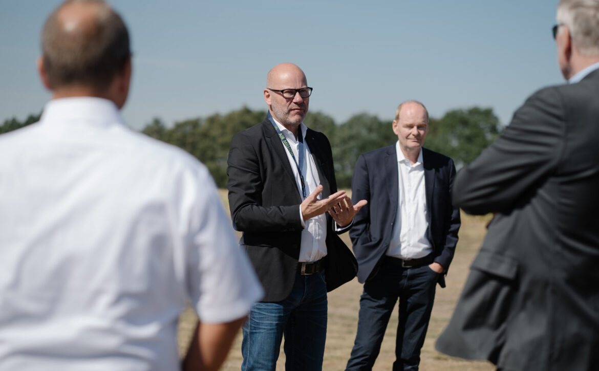
Aviaspace Roadshow - b.r.m. and U-Space

As part of the AVIASPACE BREMEN e.V. roadshow, Bremen-based IT service provider b.r.m. was able to demonstrate concepts that enable the integration of UAVs and UASs into conventional air traffic, known as U-Space. Together with the development and system service provider OptoPrecision GmbH, further innovative projects are being added to the VTOL-EGM project.

VTOL-EGM - AviaSpace Roadshow

U-Space provides motivation

With the establishment of U-Space, an airspace for unmanned flying objects, EASA has created the cornerstone for coordinated civil drone aviation. Means such as iConspicuity will make air traffic safer and open up the market for U-Space service providers.

In the VTOL-EGM project, the companies OptoPrecision GmbH and b.rm. are developing solutions to make environmental monitoring more efficient. These are used for extensive measurements at sources of environmental pollution. Since pollution is present in many places that are difficult or resource-intensive for humans to access, UAS with remote pilots are used.

U-Space Service Provider

While OptoPrecision GmbH, with its many years of experience in surveillance, (AI) detection and tracking, takes care of sensor development, drone development and operation, b.r.m. assumes the role of a U-Space service provider. This includes tasks such as network identification, UAS flight approval and geo-sensitization. The Hatten-UAS test site for drone testing has already been used in the VTOL-EGM project and is located at the Oldenburg-Hatten EDWH airfield. The 16-hectare airfield is also perfectly suited as a base of operations thanks to its favorable location. Hatten-UAS can also be used for training and testing.

The commercial use of UAS must take place integratively within the airspace with other manned aircraft participants; there can be no segregation. The temporary closure of different airspaces for a UAS flight is now a thing of the past. Close cooperation between the various stakeholders will ensure that U-Space North Germany is created. The establishment of U-Space Norddeutschland will provide the innovation boost that aviation needs to open up the drone market.

Harald Rossol and Markus Rossol presented the exact procedure for this project in the AviaSpace Roadshow presentation. We would also like to thank all participants for the successful event!

You can find out more about the North German aerospace cluster on the Aviaspace Bremen e.V. website

vector 3d background. communication satellite in a volumetric tr

SAR - Radar with synthetic aperture

SAR was developed to avoid having to install huge antennas on every flying object. This invention is particularly useful for smaller UAS.

What exactly is that?

Synthetic aperture radar (SAR) is an imaging technique that generates 2D and 3D images from radar reflections from the ground. SAR has considerable advantages as it relies on radio instead of visible light. This allows the radar to see through difficult conditions such as haze, clouds and dense forest canopies.

The German Aerospace Center describes how SAR works on a satellite as follows. A single antenna transmits pulses at regular intervals, the echoes of which are received again. Once the echoes have been fully digitized and stored, the data is transmitted to the ground station. This in turn is treated with a complex computing process called "aperture synthesis". This involves arranging the individual virtual antennas and combining them into one large antenna. In this way, the SAR produces the same effect that would be achieved with a long antenna.

There are three different operating modes for sensors that work with X-band. The "Spotlight" mode is suitable for an area measuring 10 kilometers by 10 kilometers with a resolution of 1 to 2 meters. "Stripmap", on the other hand, is suitable for a 30-kilometer-wide strip with a zoom of 3 to 6 meters. The "ScanSAR" can capture a 100 kilometer wide strip with a resolution of 16 meters.

Who uses the SAR?

Due to its special technology, it is now standard for earth observation and remote sensing. However, it is mainly used in the military. The combat drones remotely controlled by satellites are made visible on the monitors using this technology, among other things.

However, the SAR can be used not only for military operations with large combat drones, but also for civilian drone types. Due to its small size and low weight, it can be used for many types of drones.

Unmanned Aircraft System (UAS) Quadcopter Drone Carrying First Aid Package On White.

SAR - Search and Rescue with drone deployment

As drone operations are also an option for emergency services, SAR should be particularly interesting and helpful in some situations. Even though Germany is still relatively inexperienced in this area, it is still worth taking a look at these operations.

SAR - Search and Rescue with drone deployment

What is the SAR?

Search and rescue (SAR) is a safety measure that facilitates search and rescue for emergency services. These are drones equipped with cameras that fly over the relevant terrain and pass on information to the emergency services.

The 2020 pandemic has accelerated the introduction of these drones for public safety. Germany is still lagging behind with this helpful measure. Other countries such as India and the USA are using them in their authorities.

Search and rescue operations as an advantage

Due to their enormous speed and maneuverability, the drones are versatile and can be used in the most difficult situations. This means that injured and missing persons can be located more quickly. This in turn saves the emergency services time and energy, which can later be used to treat the people.

In addition, the equipment of the different types of drones can facilitate the search. Sensors or thermal imaging cameras make it possible to identify ground objects more quickly. In addition, the pilot or the head of operations can give the teams on the ground targeted instructions via loudspeakers on the drone. The camera also ensures precise documentation of the operation.

What exactly does SAR do?

In addition to public SAR teams, there are also private SAR teams in the USA that carry out search and rescue operations. Drone operations are mostly used in areas that are difficult for humans to access or in urgent situations. These drones are used in search operations in the mountains or in the vast forests of the USA. They can also act as a flying light source for emergency services at night, guiding them to injured people. In this way, thousands of lives are saved worldwide every year.

Further information on such drone operations can be found at flytnow.de.

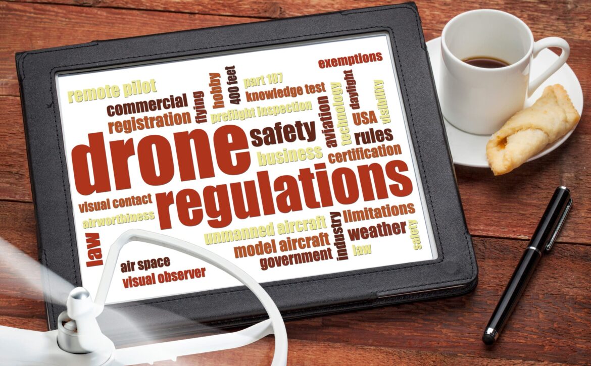
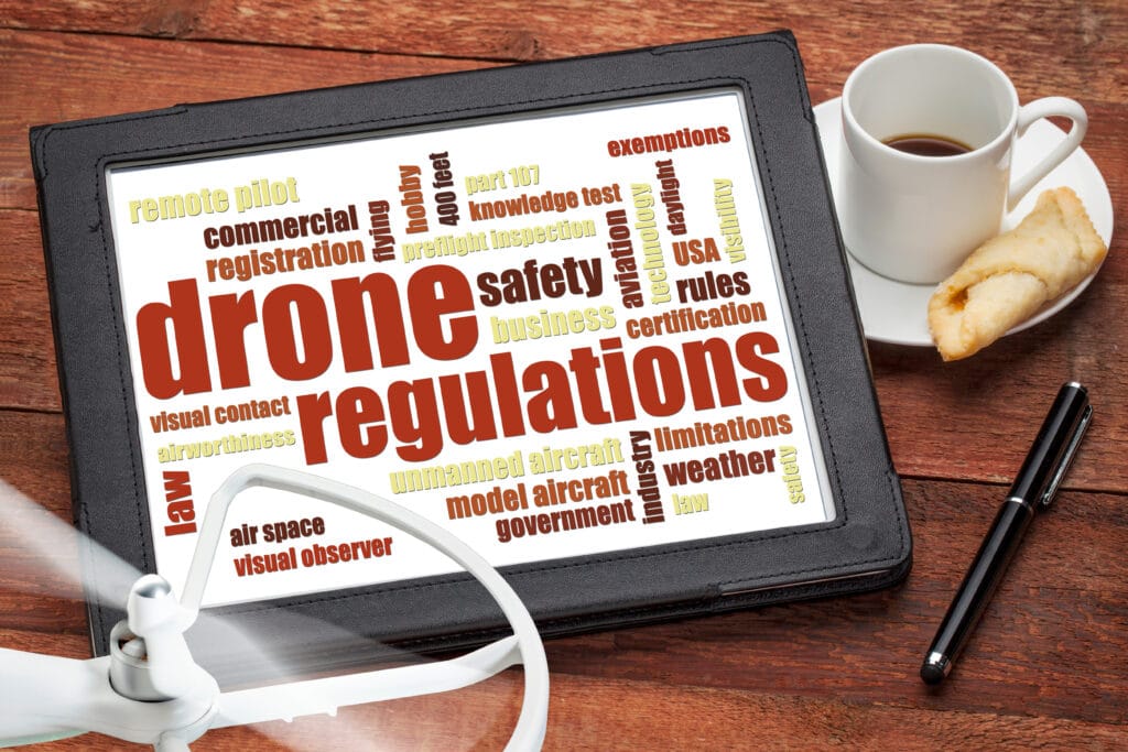
drone regulations word cloud

SERA - standardized rules in European airspace

A new regulation for European airspace has been in force since 05.12.2014: SERA. It creates uniform rules for pilots. These also apply to UAS and UAVs.

SERA - standardized rules in European airspace

Rough content of the SERA (2014)

In Germany, airspace F (Foxtrot) will disappear with immediate effect and will be replaced by the mandatory radio zone (RMZ). The RMZ stipulates that radio communication equipment must be carried and operated for all flights in this airspace. According to German Air Traffic Control (DFS), the RMZ can also be used in airspaces E, F and G.

In addition, the definition of day and night changes. Night is defined as the hours between the end of civil twilight and the beginning of civil dawn. Civil twilight therefore ends in the evening and begins in the morning when the center of the sun's disk is 6° below the horizon. This rule should also not be neglected with regard to the transponder and recognition obligation in airspace. However, as national and European law collide on this point, there will be differences between countries. Nevertheless, civil twilight in Germany lasts around 40 minutes. However, it can be assumed that Germany will stick to the old regulations, as there is already a regulation on day and night in paragraph 2 of the draft of the new Air Regulation.

Further detailed information can be found on the website aerokurier.de.

Latest changes (March 2022)

The revision of the Easy Access Rules (EAR) for the SERA of 2022 resulted from the EASA decision. It includes the introduction of accepted verification procedures (AMC) and guidelines (GM) for radiotelephony phrases for the provision of aerodrome flight information services (AFIS).

In addition, the EAR is displayed in an "easy-to-read" format with advanced navigation features using links and bookmarks. They are also available as dynamic online publications with filters, search functions and navigation for computers, tablets and cell phones.

Further information can be found on the EASA website.

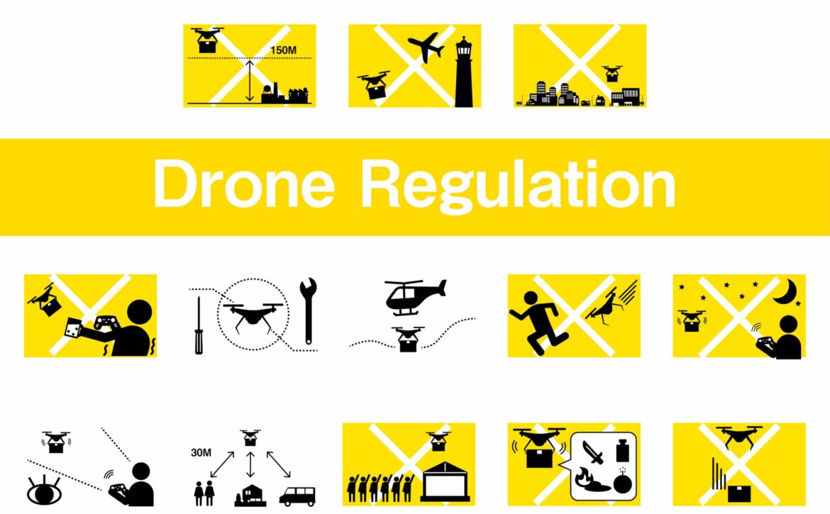
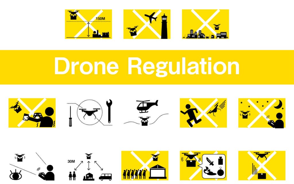
ドローンの法規制を示すシンプルなアイコンセット

JARUS - Regulation of drones

There are many initiatives such as the Joint Authorities for Rulemaking on Unmanned Systems (JARUS) to make the air traffic of UAS and UAVs safer and more advanced. This deals with the regulation of UAS.

JARUS - Regulation of drones

What is the JARUS?

JARUS is a group of experts from the National Aviation Authorities (NAAs) and the regional aviation safety organizations. The group proposes technical, operational and safety-related requirements for unmanned aircraft systems (UAS) in order to better integrate them into air traffic.

Who is part of the initiative?

JARUS members include 65 organizations, 63 countries, as well as EASA and EUROCONTROL.

Di Antonio and Stewart-Smith currently hold the leadership position. The Secretariat is headed by Secretary General Liu Hao and supported by China, Canada and Portugal. Since the end of 2015, there has also been a Stakeholder Advisory Board (SCB), which reflects the interests of all stakeholder communities in the industry and enables them to support JARUS activities.

SCB members include aircraft manufacturers, the UAS industry, aviation safety organizations (ANSPs), standardization bodies, airlines and aviation associations. The JARUS initiative has organized the activities and assigned them to working groups (WGs).

What does it do?

The first working group, "Flight Crew Licencing", deals with the licensing of personnel on board. While the second WG is responsible for "Operations", the third deals with "Airworthiness". Next comes the group for "Detection and Avoidance" and the group for "Command and Control". The sixth working group deals with "safety and risk management". The last is the group on "operational concepts".

In addition, the working groups can also make use of external consultants for further expertise. However, the consultant must first be appointed by the SCB.

A detailed overview of the tasks of the individual WGs can be found on the JARUS website.

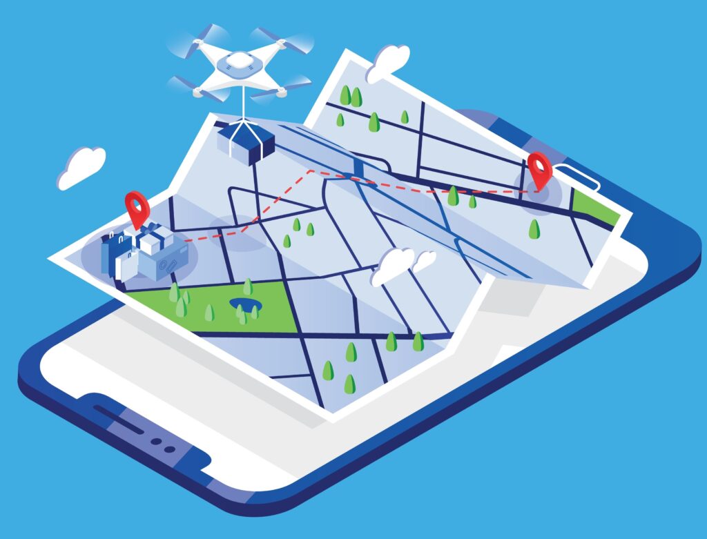
Drone carrying parcel and flying above paper city map and giant mobile phone. Delivery or shipping service with automatic quadrotor, modern electronic device. Colored isometric vector illustration.

Transponder obligation and identification obligation in airspace

According to German Air Traffic Control (DFS ), certain rules apply to the transponder obligation and recognition obligation in airspace. Both obligations are intended to make airspace safer by preventing collisions.

Transponder obligation and identification obligation

An aviation transponder is an electronic device that communicates via radio frequency interrogation. It provides important information for air traffic control (ATC) and the collision avoidance systems (ACAS) of other aircraft.

A secondary surveillance radar and an ACAS system interrogate the information from the transponder and thus make the airspace clearer. The transponder transmission therefore ensures the detection of other flying objects.

To which airspaces does the transponder and identification obligation apply?

All aircraft, whether gliders, free balloons or even hang gliders, must be equipped with a transponder in the following airspaces.

Class C and D airspaces, with the exception of the control zones, are affected. It therefore applies from 2,500 ft to 10,000 ft, which corresponds approximately to 762m to 3,048m.

Furthermore, this obligation applies in the Transponder Mandatory Zone (TMZ), which prescribes the use of a transponder with automatic altitude transmission.

The transponder requirement also applies to uncontrolled airspace at night. It also applies to motor-powered aircraft, excluding gliders, above 5,000 ft above sea level (normal zero), i.e. at the 1524 m limit.

Marking at night

To ensure that air obstacles are clearly visible to pilots at night, they must be made visible accordingly. Wind turbines or other tall buildings such as towers or chimneys must be visible in accordance with the regulations. To this end, the Federal Republic of Germany has followed international recommendations and implemented a General Administrative Regulation on the Marking of Aviation Obstacles (AVV). This specifies exactly how objects that protrude into the airspace must be secured.

The on-demand night-time marking (BNK) of wind turbines is currently only possible if the technical equipment of the aircraft is independent. A BNK transponder solution is fundamentally ruled out according to the current status of the AVV.

The experts Strauß and M. Rossol from the IT service provider b.r.m. will be happy to answer any questions you may have.

Set Isometric Life insurance with shield, House and Plane icon. Vector

iConspicuity

The EASA (European Aviation Safety Agency) organized an online workshop on 23 February 2022 to present iConspicuity. The iConspicuity roadmap, i.e. the further integrative approach with manned and unmanned air traffic, was also defined there.

iConspicuity

What exactly is iConspicuity?

iConspicuity stands for increased conspicuity, which, translated into German, means increased conspicuousness. It refers to the state of being clearly recognizable and informed.

The iConspicuity includes the most important information for the pilot of the various drones. In addition to general flight information and information on the weather, this explicitly describes the position of other flying objects in the vicinity. This information provides the remote pilot with particularly good support before and during the flight.

Why is iConspicuity being introduced?

In the past 10 years, there have been many collisions and accidents in uncontrolled air traffic. These were mainly small flying objects, resulting in a tragic 137 fatalities (in the 2009-2019 recording period). In addition, a further 60 collisions were fatal.

In order to reduce these figures, pilots should be better informed in future. The iConspicuity is designed to help with this by enabling other flight participants to be recognized more clearly. The pilot is thus optimally prepared for the flight and possible dangerous situations in the vicinity. This enables much safer air traffic.

Who is affected by the new procedure?

EASA envisages general air traffic (GA community), helicopter traffic (rotorcraft community) and other users participating in previously uncontrolled traffic for the measures under the idea of "iConspicuity". Furthermore, from January 2023, all unmanned aircraft operating in U-Space are to be made electronically visible and supported by a U-Space Service Provider (USSP).

The Bremen-based IT service provider b.r.m. is preparing to become a USSP. The company is using its GDPR-compliant green IT data center for this purpose. In addition, employees Markus Rossol and Maximilian Strauß have specialized in the area of current and future drone traffic. They will be happy to answer any questions you may have.

AVIASPACE BREMEN e.V. - b.r.m. is part of the aerospace cluster

With its associations and companies such as AVIASPACE BREMEN e.V., the state of Bremen is a world leader in aerospace. This is ensured by leading industrial companies and their suppliers, among others.

Aviaspace Bremen Aerospace Cluster Association

AVIASPACE BREMEN e.V. - an aviation cluster

AVIASPACE BREMEN e.V. is a network and representative for manufacturers of aerospace components. It has been commissioned by the Senator for Economics, Labor and Europe to implement aerospace strategies in the federal state of Bremen. The association's challenge is to strengthen and further develop the aerospace industry together with other important sectors such as the automotive industry and wind energy.

Main topics AVIASPACE BREMEN e.V.

However, the Bremen cluster has also addressed essential topics such as the formation of networks, technology transfer and economic growth. In addition, the association promotes young entrepreneurs and start-ups by clarifying the organizational and technical networking of end producers, suppliers or services. Furthermore, it provides access and contacts to scientific institutions at the various stages of the product cycle. This also applies to the competence areas of material development, high lift, construction, manufacturing technology, earth observation and robotics.

What does b.r.m. have to do with it?

Thanks to the new "Hatten-UAS" airfield for unmanned aerial systems at Oldenburg-Hatten EDWH airfield, b.r.m. has already prepared itself for future air traffic. In the course of this, the employees Markus Rossol and Maximilian Strauß have specialized in this as UAS Consultant and Senior Aerotechnical Consultant.

Bremen-based IT service provider b.r.m. is a new member of the association and is joining the cluster strategy. Networking is an important element in the development of new tasks and innovations.

Starting point at pilot started on a drone flight in field

Air traffic - civil drone types

It's easy to lose track of the different types of drones. Here are the three main categories.