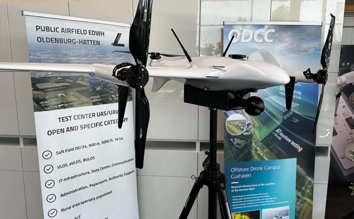
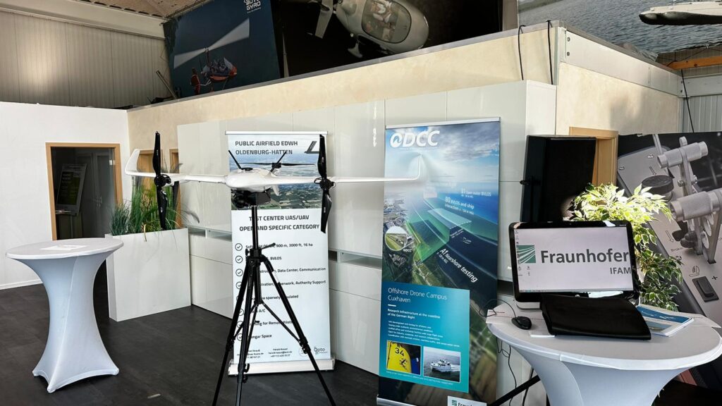
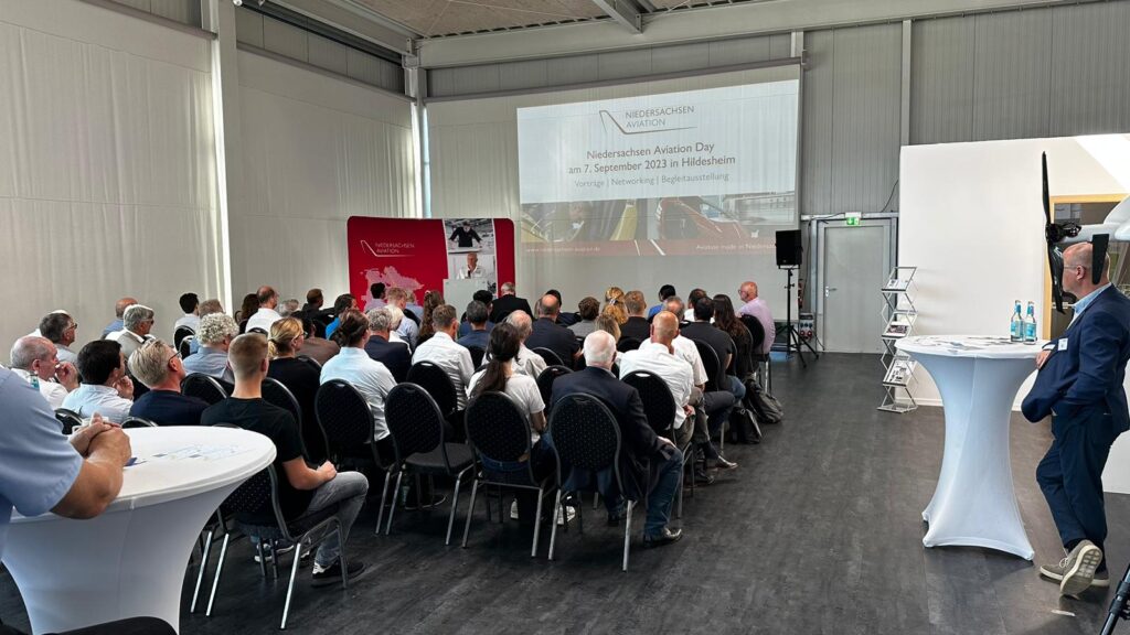
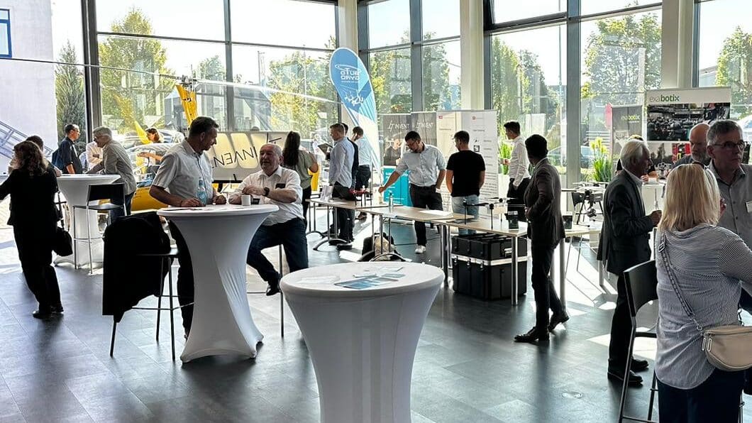
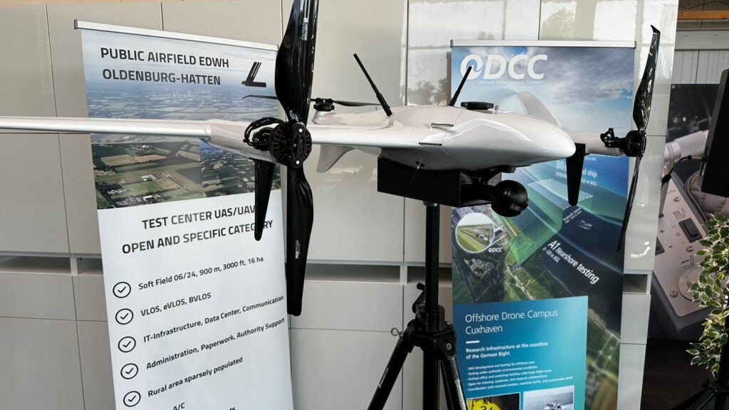
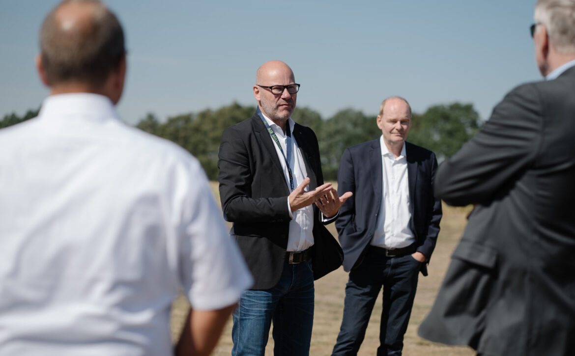
A sunny "Moin" from Niedersachsen Aviation Day! Today, Thursday, 07.09.2023, the 4th Niedersachsen Aviation Day will take place in Hildesheim. We are looking forward to exciting specialist presentations and insights into manned and unmanned aviation.
After the welcome by Stefan Schröder, Niedersachsen Aviation, and the host AutoGyro, represented by Mr. Gerald Speich, an extensive program will take place. As part of the series of lectures, our Managing Director Harald Rossol will talk about the advantages and current developments of the "Hatten-UAS" test center and its possibilities. Further highlights can be found in the program.
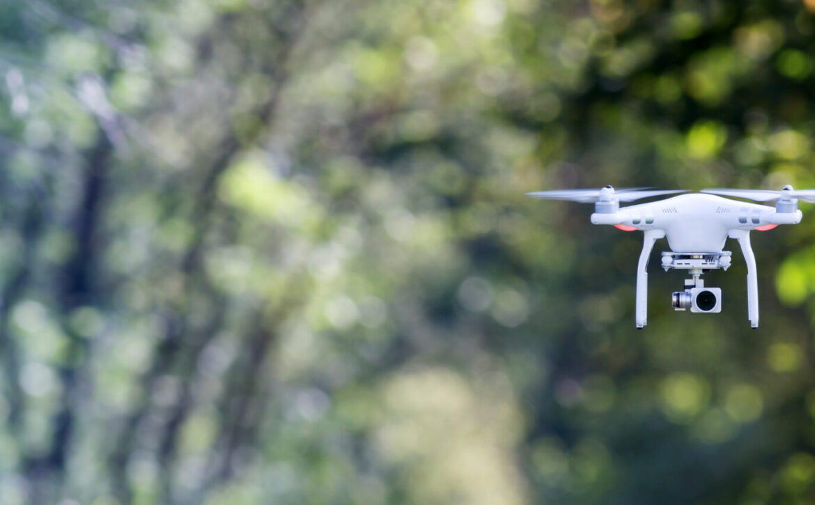
Drones are used for a wide variety of purposes. There are different flight maneuvers for the respective task of the drone. Drones are also increasingly being used for advertising purposes with cameras. The following 10 maneuvers are among the most commonly used for this purpose.
Simple flight maneuvers for all kinds of shots
For linear shots, which are typically used for transitions in videos, the operator steers the drone forwards or backwards at a constant speed. He usually uses the right stick to keep a constant view of the subject with the camera.
To illustrate the depth of a landscape, for example, you mainly use diagonal maneuvers. These are created by combining both sticks. The left stick is responsible for the flight altitude and the right stick for the horizontal direction. This results in a diagonal flight path. The drone can also be panned slightly with the left stick. This makes it possible to combine several motifs.
A dynamic one can be filmed with drones flying sideways, among other things. To do this, move the right stick to the left or right. It is important to note that the movement should be smooth and the subject should remain in the camera's field of vision during this flight maneuver. This maneuver is challenging.
It is particularly easy to orbit a subject smoothly with drones. To do this, move both sticks in the desired direction and create circular paths in an anti-clockwise or clockwise direction. This maneuver can also be performed in a spiral by using the left stick to move the drone up or down. The movement of the right stick should be slower in order to focus on the subject.
In a drone shot, the drone flies backwards and rises in the process. This increases the angle of view of the subject. To do this, press the left stick upwards and the right stick downwards. To do this, however, the camera's swivel arm must be at the same angle as the flight maneuver. For a certain dramatic effect in landscape shots, the drone flies vertically upwards. To do this, press the left stick upwards and point the camera downwards. This maneuver is called Rocket.
The pilot first flies the drone forwards and zooms out with the camera. If he then flies backwards and zooms in with the camera, a so-called vertigo effect is created, which is generated by the dollie zoom recording maneuver. Last but not least, there are overview shots in which the pilot moves the right stick up or down. At the same time, the camera is slowly tilted downwards.
You can also find more posts on our Instagram account.
State of Lower Saxony grants BVLOS ascent permitfor a 3600 square kilometer area for drone testing
Bremen, 30.05.2023: The state aviation authority of Lower Saxony has now granted permission for BVLOS (Beyond Visual Line of Sight) flights of UAS (Unmanned Aircraft Systems) in north-western Germany. The approval is a further milestone in the development of the project, which is being driven forward by Bremen-based b.r.m. IT & Aerospace in North-West Germany and the German Bight. b.r.m. IT & Aerospace is regarded as a leading developer of comprehensive digital services, including for BVLOS flights, which the company offers its customers as a future U-Space Service Provider (USSP).
The permit holder is Flugschule Borkum GmbH. Alongside Bremer b.r.m. IT & Aerospace with the new Hatten-UAS drone test center and the Oldenburg-Hatten airfield (EDWH), it is part of the group of companies owned by Bremen entrepreneurs Harald and Markus Rossol.
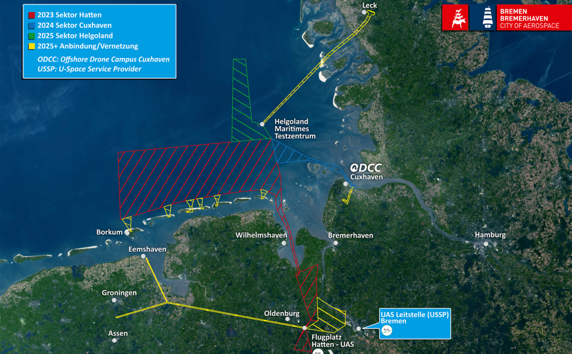
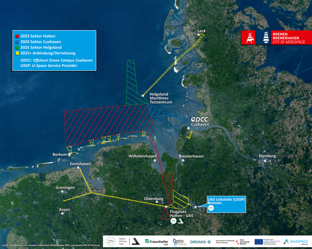
The permit for BVLOS drone operations covers a total area of 3600 square kilometers. It extends with a corridor over largely uninhabited areas from Hatten-UAS at the Oldenburg-Hatten VLP across the Jade Bay to the North Sea. North of the East Frisian Islands, it extends as far as the Dutch border (see diagram). The height limit is 120 m.
"The approval is an important step for us on the way to becoming a real laboratory for North-West Germany and the German Bight," says Markus Rossol, Managing Partner of b.r.m. IT & Aerospace. "It also paves the way for the more effective development of solutions for the orderly and coordinated coexistence of UAS from industrial, university and other civil operators and manned aircraft within the existing airspace structures."
Markus Rossol continues: "We are pursuing an integrative approach to drone operations as part of the U-Space Reallabor North-West Germany and German Bight, for which a strict spatial demarcation between UAS and manned aircraft is not a mandatory requirement. As a U-Space Service Provider, we are planning to set up the UAS Control Center Bremen (USSP) in our sustainably operated data center, through which we will offer our customers all the services required for drone operations under VFR, IFR and night VFR conditions. The aim is to significantly simplify coordination and automate UAS operations while increasing safety."
The approval from the Lower Saxony State Aviation Authority currently relates to test operations with the OptoPrecision VT-4 "Rochen". The UAS with a speed of up to 180 km/h, a flight mass of 100 kg and a range of 600 km was developed primarily for environmental monitoring. Systems such as ADS-B and FLARM are integrated into the UAS for mutual recognition in airspace and, if necessary, automated safe evasive maneuvers.
"We are very pleased that we have now acquired further well-known customers whose UAS we can easily include in the scope of approval with our expertise," says Markus Rossol. "Our unique combination of IT, USSP services and the provision of aeronautical infrastructure underpins our role as a leading service provider for the thriving UAS sector."
Would you like to find out more? Please contact us.
As a UAS operator (Unmanned Aircraft Systems operator) in Germany, you are required to have special insurance for your own drone. It is important to note that conventional private liability insurance does not usually cover any damage to the drone.
The first question is whether the drone to be insured is to be used privately or (also) commercially. In the case of commercial use, for example by our UAS consultant Markus Rossol, we recommend a combined insurance policy that covers both commercial and private use of the drones.
Compulsory insurance applies to all drones, multicopters and model aircraft. Drone insurance policies are available from around €15 per year, but in addition to the price, you should also consider the following factors.
Drone insurance
The contract term
The contract terms of the various insurance models vary greatly. Most insurance policies are very flexible and the minimum contract term is often only 12 months. There are also offers with no minimum term at all, with monthly or even daily termination options.
The sum insured
Insurance policies with cover sums from 1.5 million euros are common. Larger sums of 20 to 50 million euros are also often offered. These models are usually linked to private liability insurance so that larger claims, such as personal injury, are also covered.
Amount of the deductible
The deductible refers to the personal contribution to be made to the claim amount in the event that the insurance has to be claimed. When choosing insurance, it should be noted that the amount of the excess is partly predetermined and partly freely selectable. There are also insurance policies with no excess at all. The principle usually applies here: the higher the excess, the lower the premium.
The geographical scope
Especially if you want to travel with your drone - whether privately or, like us, to trade fairs such as the AERO 2023 last week - you should definitely pay attention to the geographical scope of the drone insurance. Here, the offers differ in insurances with the scope of application Germany, Europe-wide or worldwide (sometimes with exceptions such as "worldwide without US territories"). An insurance policy with a worldwide geographical scope does not necessarily have to be more expensive than a policy that is only valid in Germany.
The area of application
As previously mentioned, it is important to consider whether the drone is only to be used privately or also commercially. If the drone insurance is linked to the private liability insurance, this usually excludes commercial use of the UAS. One way to cover commercial and private use in one insurance policy is to take out combined cover. Here, both usage scenarios are insured and it is also possible to book certain additional services.
The number of copters
Regardless of the area of application, it is important to decide how many copters are to be insured. If only your own drone is to be insured, this is usually noted with the serial number in the insurance policy. It is also possible to cover the flying of third-party drones in addition to your own drone. Please also note that a drone driver's license is required for flying common UAS with a take-off weight of 250 g or more. Since January 2021, you have been able to obtain the small drone license online from the German Federal Aviation Office (LBA). Here you will take part in an online training course followed by an exam to ensure that you have the basic knowledge required to fly a drone safely.
Number of insured taxpayers
The number of insured pilots determines whether and, if so, who other than you may pilot the insured drone. The various insurance models differentiate here between your own person, your own person and family members or your own person, family members, friends and strangers. In addition to insuring your own drone, labeling it is also mandatory in Germany. Self-adhesive aluminum stickers engraved with the eID and the EU drone registration number are best suited for this purpose. In the event of damage, for example, the EU drone registration number can be used to determine who owns the drone and how it is insured. Registration is required to obtain the eID (or UAS operator number). In Germany, you can register online to obtain your eID. Among other things, you will need to provide your drone insurance number.
Summary
Drone insurance is offered by numerous insurance companies. Some of these include Allianz, HUK Coburg, R+V Versicherung, Generali, ADAC and AXA. Regardless of whether you want to fly your own or someone else's UAS privately or commercially in Germany, you need appropriate drone liability insurance. The numerous insurance companies also offer numerous insurance models that cover a wide variety of usage scenarios. So decide in advance exactly where you want to fly your drone, who is allowed to control your drone and how high the sum insured including your excess should be in the event of a claim.
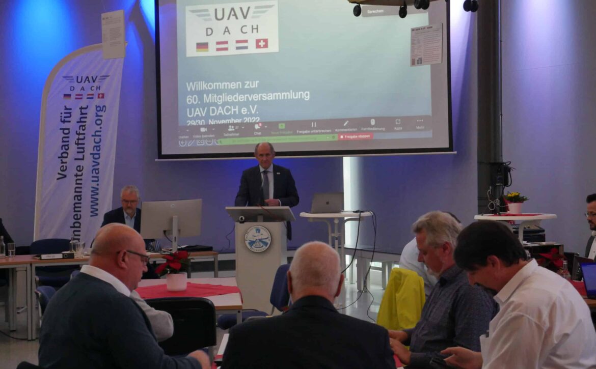
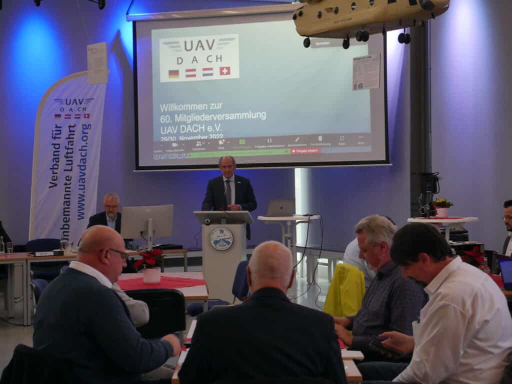
At the 61st general meeting of UAV DACH e.V., the association was restructured. The new basic program was also adopted.
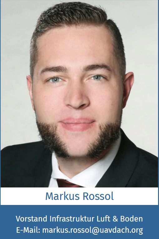
The board of the association for unmanned aviation "UAV DACH e.V." was newly elected. Markus Rossol was elected to the new, broader-based board of the association as the board member responsible for Air & Ground Infrastructure. He thanks the members of the association for the trust they have placed in him and looks forward to a cooperative collaboration. Special thanks also go to the outgoing members of the Board, whose successful association work has accompanied UAV DACH e.V. to date.
Furthermore, the new basic program "inform, network and shape" now comes into force. This was previously adopted at the 60th General Assembly in November 2022. Further information can be found on the UAV DACH e.V. website. There are also new posts on our Instagram account.
The association's annual general meeting at the Bückeburg Helicopter Museum Source: UAV DACH e.V. / Jan Schönberg
Last Tuesday and Wednesday (November 29 and 30, 2022), the 60th Annual General Meeting of the UAV DACH e.V. - Association for Unmanned Aviation took place. The UAV DACH e.V. office had invited guests to the German Helicopter Center in Bückeburg. In addition to the extensive agenda items, there was of course plenty of time to talk about the drone economy and meet new and old faces.
Specialist groups and close cooperation with the authorities
The chairman of the association, Mr. Achim Friedl, led those present in the hall and those connected online through the extensive agenda. The addition of 18 new members brings the association to a total of 256 members from the various sectors of unmanned and manned aviation. Particular emphasis was placed on the work of the UAV Dach e.V. specialist group, which was carried out in closer cooperation with the various authorities.
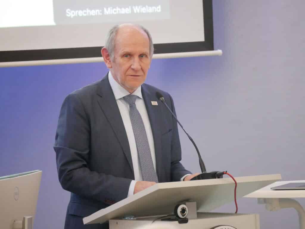
The Chairman of the Board, Mr. Achim Friedl, guided the members through the conference Source: UAV DACH e.V. / Jan Schönberg
AG Zukunft - New concept presented and adopted at the general meeting
In order to put the association on a solid footing for the future, the Future Working Group drew up a comprehensive concept. This was presented in detail on Tuesday and highlighted the association's good features and those in need of improvement. A number of resolutions were derived from this, such as the expansion of the Executive Board and a more division-specific structure. The members voted in favor of this future concept by a large majority, and the first part is already being implemented.
New interim Management Board
The new Board of UAV Dach will also be elected until the next Annual General Meeting in the new year, and an interim Board has been appointed to bridge this period. Mr. Achim Friedl, Ms. Sabrina John and Dr. Gerald Wissel were elected as interim board members at the general meeting to continue the business until the new board is elected.
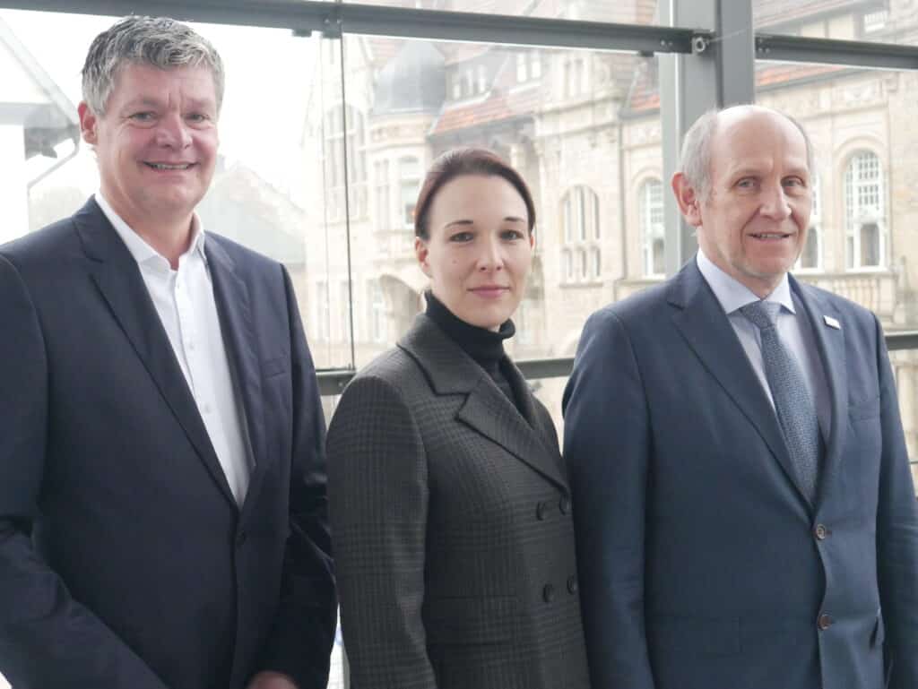
Interim board of UAV DACH e.V. (from left: Dr. Gerald Wissel, Ms. Sabrina John, Mr. Achim Friedl) Source: UAV DACH e.V. / Jan Schönberg
Aircraft radio was introduced for communication in aviation. This was divided into different classes, including BZF I and BZF II.
What BZF is
The restricted radiotelephony certificate is a radiotelephony certificate for the flight service. There are different classes of this certificate with different authorizations. The first class (BZF I) entitles the holder to use radiotelephony in German and English in accordance with visual flight rules.
There is also the BZF II, which allows radiotelephony within Germany in German according to the visual flight rules.
You can find detailed descriptions of other classes of aircraft radio certificates on the website of the Federal Network Agency.
Why this is relevant for drones
As the BZF I and BFZ II are valid for visual flight, unmanned flying objects, i.e. UAV and UAS, are also included. For users of the VLOS, EVLOS and BVLOS operating modes, the aeronautical radio certificate is not uninteresting, as communication with the USSP will be mandatory from January 2023 as part of the new regulation.
The flight radio certificate is therefore also important for the USSP, as it must communicate with the pilots to ensure the safety of the drones.
The UAS team at b.r.m. IT & Aerospace has many qualifications and awards. The IT and UAS consultant Markus Rossol is in possession of the BZF I certificate. The license for the restricted radiotelephony certificate I for the aeronautical radio service is issued by the Federal Network Agency for Electricity, Gas, Telecommunications, Post and Railway.
Harald Rossol, the founder and managing director of b.r.m. IT & Aerospace, is developing methods and approaches for the use of drones in air traffic. Under the term "U-Space", possibilities and opportunities for the use of drones are to be developed and implemented. The Oldenburg-Hatten airfield (EDWH) served as a representative location for a get-together with AVIASPACE Bremen e.V. and other industry experts.
You are currently seeing a placeholder content of YouTube. To access the actual content, click on the button below. Please note that data will be passed on to third-party providers.
As part of the AVIASPACE BREMEN e.V. roadshow, Bremen-based IT service provider b.r.m. was able to demonstrate concepts that enable the integration of UAVs and UASs into conventional air traffic, known as U-Space. Together with the development and system service provider OptoPrecision GmbH, further innovative projects are being added to the VTOL-EGM project.
U-Space provides motivation
With the establishment of U-Space, an airspace for unmanned flying objects, EASA has created the cornerstone for coordinated civil drone aviation. Means such as iConspicuity will make air traffic safer and open up the market for U-Space service providers.
In the VTOL-EGM project, the companies OptoPrecision GmbH and b.rm. are developing solutions to make environmental monitoring more efficient. These are used for extensive measurements at sources of environmental pollution. Since pollution is present in many places that are difficult or resource-intensive for humans to access, UAS with remote pilots are used.
U-Space Service Provider
While OptoPrecision GmbH, with its many years of experience in surveillance, (AI) detection and tracking, takes care of sensor development, drone development and operation, b.r.m. assumes the role of a U-Space service provider. This includes tasks such as network identification, UAS flight approval and geo-sensitization. The Hatten-UAS test site for drone testing has already been used in the VTOL-EGM project and is located at the Oldenburg-Hatten EDWH airfield. The 16-hectare airfield is also perfectly suited as a base of operations thanks to its favorable location. Hatten-UAS can also be used for training and testing.
The commercial use of UAS must take place integratively within the airspace with other manned aircraft participants; there can be no segregation. The temporary closure of different airspaces for a UAS flight is now a thing of the past. Close cooperation between the various stakeholders will ensure that U-Space North Germany is created. The establishment of U-Space Norddeutschland will provide the innovation boost that aviation needs to open up the drone market.
Harald Rossol and Markus Rossol presented the exact procedure for this project in the AviaSpace Roadshow presentation. We would also like to thank all participants for the successful event!
You can find out more about the North German aerospace cluster on the Aviaspace Bremen e.V. website
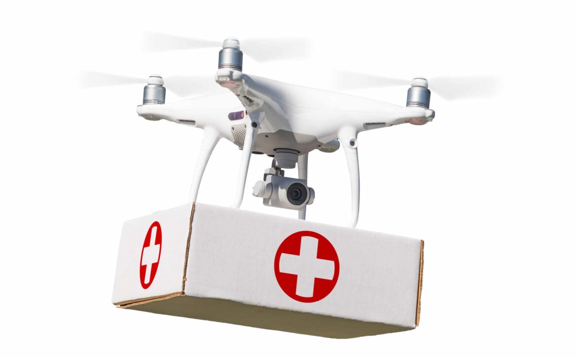
As drone operations are also an option for emergency services, SAR should be particularly interesting and helpful in some situations. Even though Germany is still relatively inexperienced in this area, it is still worth taking a look at these operations.
What is the SAR?
Search and rescue (SAR) is a safety measure that facilitates search and rescue for emergency services. These are drones equipped with cameras that fly over the relevant terrain and pass on information to the emergency services.
The 2020 pandemic has accelerated the introduction of these drones for public safety. Germany is still lagging behind with this helpful measure. Other countries such as India and the USA are using them in their authorities.
Search and rescue operations as an advantage
Due to their enormous speed and maneuverability, the drones are versatile and can be used in the most difficult situations. This means that injured and missing persons can be located more quickly. This in turn saves the emergency services time and energy, which can later be used to treat the people.
In addition, the equipment of the different types of drones can facilitate the search. Sensors or thermal imaging cameras make it possible to identify ground objects more quickly. In addition, the pilot or the head of operations can give the teams on the ground targeted instructions via loudspeakers on the drone. The camera also ensures precise documentation of the operation.
What exactly does SAR do?
In addition to public SAR teams, there are also private SAR teams in the USA that carry out search and rescue operations. Drone operations are mostly used in areas that are difficult for humans to access or in urgent situations. These drones are used in search operations in the mountains or in the vast forests of the USA. They can also act as a flying light source for emergency services at night, guiding them to injured people. In this way, thousands of lives are saved worldwide every year.
Further information on such drone operations can be found at flytnow.de.
You are currently viewing placeholder content from Turnstile. To access the actual content, click the button below. Please note that doing so will result in data being shared with third-party providers.
You are currently viewing a placeholder content from Facebook. To access the actual content, click the button below. Please note that doing so will share data with third-party providers.
You are currently viewing a placeholder content from Instagram. To access the actual content, click the button below. Please note that doing so will share data with third-party providers.
You are currently viewing a placeholder content from X. To access the actual content, click the button below. Please note that doing so will share data with third-party providers.