
Category: U-Space

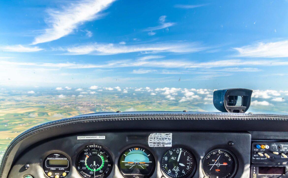
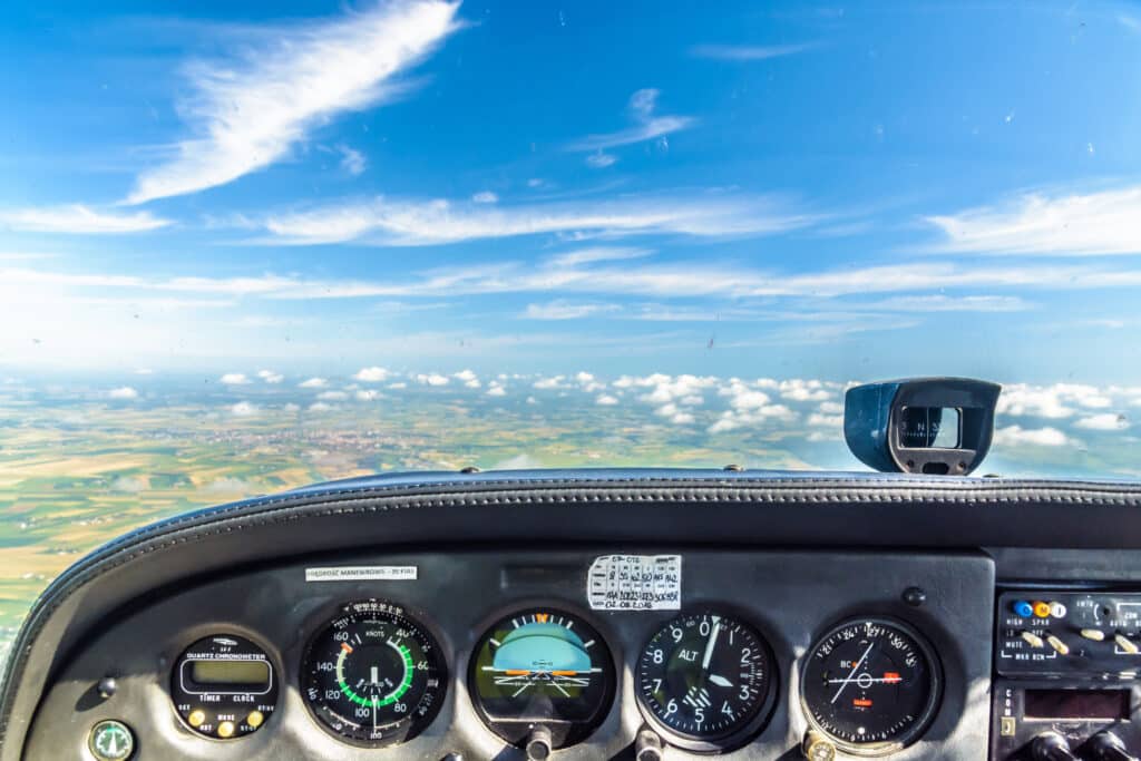
Private aircraft cockpit

AGL and MGL - Flight altitudes and differences

So that not every pilot can decide for themselves how low they want to fly, there are standardized minimum flight altitudes in Europe. This MSA is measured by AGL.

AGL and MGL - Flight altitudes and differences

AGL

In aviation, the abbreviation AGL stands for above ground level. This refers to the height above ground, i.e. the distance from the ground to the flying object.

In addition to AGL, there is also MSL. It indicates how high the flying object flies above the water.

MSA

The MSA is the required minimum flight altitude above the ground. The minimum flight altitude must be maintained for reasons of flight safety and the protection of persons and noise.

To this end, SERA has defined various minimum flight altitudes for European airspace. An MSA of at least 300m above the highest obstacle within a radius of 600m therefore applies above densely populated areas and gatherings of people. In all other cases, an AGL of at least 150m applies.

These rules apply both in the special flight zones and in the normal flight zones. Logically, however, they do not apply when taking off and landing.

Radar altimeter

The AGL of larger aircraft is measured using a radar altimeter. An on-board radar device measures the exact altitude of an aircraft. Put simply, the radar emits short electromagnetic waves towards the ground. These are reflected on the ground and received again by the radar altimeter. The altitude of the flying object is calculated from the time from the radar to the ground and from the ground to the radar. However, this technology works on land and not on water.

The UAV DACH e.V. association has developed safety concepts for UAS operations. You can find them here.

b.r.m. and OptoPrecision GmbH in the Weser Report

As part of the 7th North German Aviation Forum, the Weser Report interviewed Mr. Harald Rossol and Mr. Markus Rossol from b.r.m.. You can read the article on the Weser Report website or here in our blog.

Source: Weser Report / Emre Altug

7th North German Aviation Forum

The 7th North German Aviation Forum kicked off in Bremen on October 6, 2022 with over 120 managers and specialists from the aerospace industry. This important aviation event this year was organized by the Senator for Economics, Labour and Europe in cooperation with the host AVIASPACE BREMEN e.V., among others. The event included discussions on supply chains and unmanned aerial vehicles.

7th North German Aviation Forum
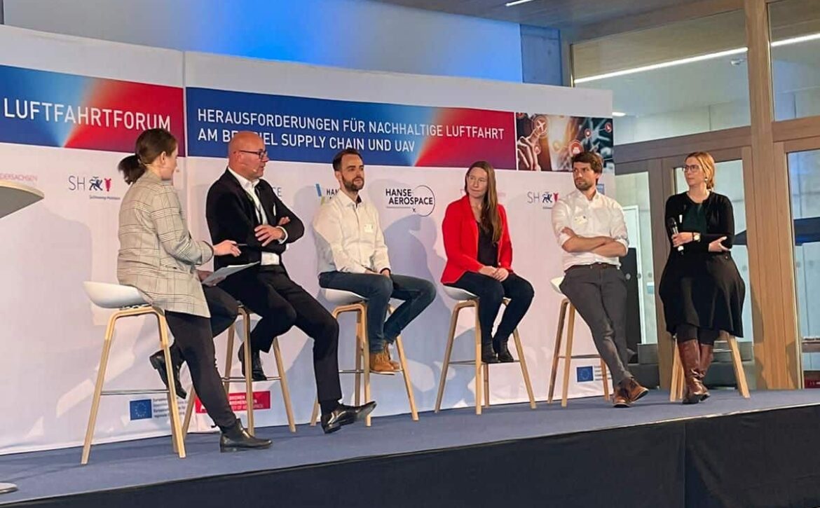
Managing Director Harald Rossol (2nd from left) at the panel discussion on the role of UAS for the mobility of the future (AVIASPACE Bremen)

Supply chains - 1st part of the event

The 7th North German Aviation Forum was opened with a speech by Kristina Vogt, Senator for Economic Affairs, Labor and Europe. She spoke about the high pressures and challenges facing the industry due to the war in Ukraine, the pandemic and supply bottlenecks. However, local production in particular has a lot of potential due to these developments.

Unmanned aircraft - 2nd part of the 7th North German Aviation Forum

In her opening speech, the Senator called aerospace the central innovation cluster of the North. In addition to the well-known industry giants such as Airbus, small and medium-sized companies in particular have been hit hard by the crises.

Mr. Achim Friedl, Chairman of UAV DACH e.V., the largest German-speaking professional association for UAS use in Europe, gave the introductory lecture on the challenges and opportunities of unmanned aviation. In Germany, there are still considerable obstacles to the integration of unmanned aircraft into conventional air traffic. On the one hand, the EU regulations have yet to be implemented and, on the other, research still needs to be carried out.

With its high number of participants at the 7th North German Aviation Forum, it illustrates the importance of sustainable supply chains and the integration of UAS into manned air traffic, as well as the potential of the industry in northern Germany.

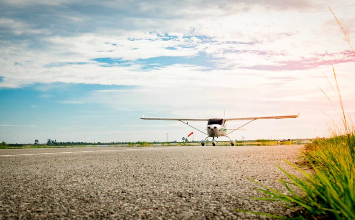
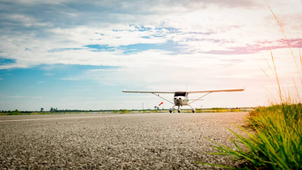
Small airplane coming on a taxiway in the morning with beautifu

TRA and TMZ - the special flight zones

Various flight zones have been introduced to make flights clearer and safer. These include a TRA and a TMZ, which must be observed by the pilot.

TRA and TMZ - the special flight zones

TRA - limited in time

A temporary restricted area (TRA) is a flight area that is temporarily restricted. Air traffic is temporarily or permanently restricted in this airspace. This is intended to prevent threats to public safety or order. A TRA is often located near military training areas.

Clearance to fly over is then issued by NOTAM. A NOTAM can also change the vertical extent of the flight restriction area.

TMZ - more transparency for more security

A transponder mandatory zone (TMZ) is a mandatory transponder zone. The use of a transponder is therefore mandatory in this area. A TMZ is usually located near regional airports, as it protects civil air traffic. A TMZ is visible on the pilot's ICAO chart and also indicates the frequencies in which the pilot must remain.

The clearance of this airspace is not required by air traffic control during the day, as this is controlled airspace E.

Basic training pilot license

Both flight zones are part of air traffic control and the basic training of a pilot. You learn about the TMZ and the TRA during training for a private pilot license (PPL). Flugschule Borkum GmbH offers such training at the Oldenburg-Hatten EDWH airfield, among others.

AVIASPACE visits b.r.m. in Hatten

Harald Rossol, the founder and managing director of b.r.m. IT & Aerospace, is developing methods and approaches for the use of drones in air traffic. Under the term "U-Space", possibilities and opportunities for the use of drones are to be developed and implemented. The Oldenburg-Hatten airfield (EDWH) served as a representative location for a get-together with AVIASPACE Bremen e.V. and other industry experts.

You are currently seeing a placeholder content of YouTube. To access the actual content, click on the button below. Please note that data will be passed on to third-party providers.

More information

Risk Assessment

SORA - Risk assessment for safe UAS operation

SORA, a process for safety measures, was developed to make the risk assessment of a drone operation safer.

SORA - Risk assessment for safe UAS operation

What is SORA?

The Specific Operations Risk Assessment, SORA for short, serves as a risk analysis for drone operations. Depending on the type and flight zone of the drone, the risk of the operation is determined in a process. After a complete review, SORA determines which minimum safety requirements the UAS operator must fulfill.

This risk assessment was developed by the international expert committee JARUS. Risk management also includes EASA criteria and serves to minimize risks to people on the ground, other air traffic and critical infrastructure.

The national aviation authority examines the UAS operator's application for an operating license using the risk assessment. The corresponding SORA process then provides for various steps to plan the operation in an orderly and safe manner. However, in order to increase general safety, different rules apply to the respective drone categories.

Basic concept of robustness

A basic concept in the SORA process is the robustness concept. This refers to the resistance of the flying object with its maximum limits. This includes the degree of integrity and the degree of reliability with which the UAS operator pursues mitigation. Robustness, i.e. the two factors, is categorized as "low", "medium" and "high". For example, if a UAS operator wants to fly in challenging weather conditions, such as wind speeds of around 9 knots, they must prove that they have familiarized themselves with the weather development.

SORA in Germany

Although there is no German version of this process to date, the first aviation authorities, such as Lower Saxony and Bremen, have announced the use of similar risk assessments. The Bremen Senator for Economics, Labor and Ports has provided a six-page application for the operating permit and approval.

If you have any questions about SORA, please contact our Senior Aerotechnical Consultant Maximilian Strauß

Aviaspace Roadshow - b.r.m. and U-Space

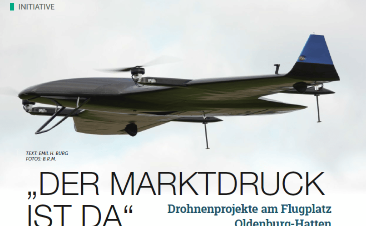
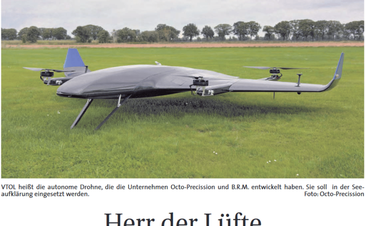
As part of the AVIASPACE BREMEN e.V. roadshow, Bremen-based IT service provider b.r.m. was able to demonstrate concepts that enable the integration of UAVs and UASs into conventional air traffic, known as U-Space. Together with the development and system service provider OptoPrecision GmbH, further innovative projects are being added to the VTOL-EGM project.

VTOL-EGM - AviaSpace Roadshow

U-Space provides motivation

With the establishment of U-Space, an airspace for unmanned flying objects, EASA has created the cornerstone for coordinated civil drone aviation. Means such as iConspicuity will make air traffic safer and open up the market for U-Space service providers.

In the VTOL-EGM project, the companies OptoPrecision GmbH and b.rm. are developing solutions to make environmental monitoring more efficient. These are used for extensive measurements at sources of environmental pollution. Since pollution is present in many places that are difficult or resource-intensive for humans to access, UAS with remote pilots are used.

U-Space Service Provider

While OptoPrecision GmbH, with its many years of experience in surveillance, (AI) detection and tracking, takes care of sensor development, drone development and operation, b.r.m. assumes the role of a U-Space service provider. This includes tasks such as network identification, UAS flight approval and geo-sensitization. The Hatten-UAS test site for drone testing has already been used in the VTOL-EGM project and is located at the Oldenburg-Hatten EDWH airfield. The 16-hectare airfield is also perfectly suited as a base of operations thanks to its favorable location. Hatten-UAS can also be used for training and testing.

The commercial use of UAS must take place integratively within the airspace with other manned aircraft participants; there can be no segregation. The temporary closure of different airspaces for a UAS flight is now a thing of the past. Close cooperation between the various stakeholders will ensure that U-Space North Germany is created. The establishment of U-Space Norddeutschland will provide the innovation boost that aviation needs to open up the drone market.

Harald Rossol and Markus Rossol presented the exact procedure for this project in the AviaSpace Roadshow presentation. We would also like to thank all participants for the successful event!

You can find out more about the North German aerospace cluster on the Aviaspace Bremen e.V. website

vector 3d background. communication satellite in a volumetric tr

SAR - Radar with synthetic aperture

SAR was developed to avoid having to install huge antennas on every flying object. This invention is particularly useful for smaller UAS.

What exactly is that?

Synthetic aperture radar (SAR) is an imaging technique that generates 2D and 3D images from radar reflections from the ground. SAR has considerable advantages as it relies on radio instead of visible light. This allows the radar to see through difficult conditions such as haze, clouds and dense forest canopies.

The German Aerospace Center describes how SAR works on a satellite as follows. A single antenna transmits pulses at regular intervals, the echoes of which are received again. Once the echoes have been fully digitized and stored, the data is transmitted to the ground station. This in turn is treated with a complex computing process called "aperture synthesis". This involves arranging the individual virtual antennas and combining them into one large antenna. In this way, the SAR produces the same effect that would be achieved with a long antenna.

There are three different operating modes for sensors that work with X-band. The "Spotlight" mode is suitable for an area measuring 10 kilometers by 10 kilometers with a resolution of 1 to 2 meters. "Stripmap", on the other hand, is suitable for a 30-kilometer-wide strip with a zoom of 3 to 6 meters. The "ScanSAR" can capture a 100 kilometer wide strip with a resolution of 16 meters.

Who uses the SAR?

Due to its special technology, it is now standard for earth observation and remote sensing. However, it is mainly used in the military. The combat drones remotely controlled by satellites are made visible on the monitors using this technology, among other things.

However, the SAR can be used not only for military operations with large combat drones, but also for civilian drone types. Due to its small size and low weight, it can be used for many types of drones.

quadcopter drone in flight close to airplane approaching airport runway

NOTAM - Notice to Airmen

In order to be optimally prepared for a UAS and UAV flight, pilots must be aware of new obstacles and other information in addition to the SERA. This works through information from German Air Traffic Control (DFS), the NOTAM.

NOTAM - Notice to Airmen

What is NOTAM?

The acronym stands for notice to airmen. This is information and instructions about changes to the Aeronautical Information Publication (AIP). These changes can be temporary or permanent. They are crucial for orderly, safe and smooth air traffic.

Short-term and urgent instructions, procedures and information from the NOTAM serve as supplementary information for a flight. The fact that changes to the AIP are distributed by post means that they are not necessarily required for new changes.

What does a NOTAM say?

The instructions and information disseminated in a NOTAM are messages about installations, changes and conditions of any aviation facilities, services, procedures or hazards.

A NOTAM therefore warns pilots of obstacles that have been newly installed or are not recognizable due to defective lights, for example. It also contains warnings about drone activity and provides information about temporary flight restriction areas. For example, a disaster control operation site in the event of flooding. This special information is summarized for airlines in a briefing package.

Categories Briefing Package

The briefing package is divided into categories. These are Departure (departure airfield), Enroute (route), Alternate (alternate airfield), Destination (destination airfield) and Company-NOTAM (information that only applies to the airline).

New briefings on the latest amendments and new publications can be found on the DFS website. NOTAMs are also disseminated via the Aeronautical Telecommunications Fixed Network (AFTN).

Unmanned Aircraft System (UAS) Quadcopter Drone Carrying First Aid Package On White.

SAR - Search and Rescue with drone deployment

As drone operations are also an option for emergency services, SAR should be particularly interesting and helpful in some situations. Even though Germany is still relatively inexperienced in this area, it is still worth taking a look at these operations.

SAR - Search and Rescue with drone deployment

What is the SAR?

Search and rescue (SAR) is a safety measure that facilitates search and rescue for emergency services. These are drones equipped with cameras that fly over the relevant terrain and pass on information to the emergency services.

The 2020 pandemic has accelerated the introduction of these drones for public safety. Germany is still lagging behind with this helpful measure. Other countries such as India and the USA are using them in their authorities.

Search and rescue operations as an advantage

Due to their enormous speed and maneuverability, the drones are versatile and can be used in the most difficult situations. This means that injured and missing persons can be located more quickly. This in turn saves the emergency services time and energy, which can later be used to treat the people.

In addition, the equipment of the different types of drones can facilitate the search. Sensors or thermal imaging cameras make it possible to identify ground objects more quickly. In addition, the pilot or the head of operations can give the teams on the ground targeted instructions via loudspeakers on the drone. The camera also ensures precise documentation of the operation.

What exactly does SAR do?

In addition to public SAR teams, there are also private SAR teams in the USA that carry out search and rescue operations. Drone operations are mostly used in areas that are difficult for humans to access or in urgent situations. These drones are used in search operations in the mountains or in the vast forests of the USA. They can also act as a flying light source for emergency services at night, guiding them to injured people. In this way, thousands of lives are saved worldwide every year.

Further information on such drone operations can be found at flytnow.de.